Joint SOW and EAG (Environment Action Group) meeting 31 May 2023. Eleven attended, numerous apologies, and lots of enthusiasm overall!
From the Nature Recovery Toolkit:
- Medium term (10 yrs+) plan for the creation of more nature-rich habitats in the village and surrounding countryside
- Clear outcomes – targets such as “plant 2km hedgerow” or “create hectare of wild flower meadow”
- Monitoring and recording key species, eg bats, swifts and swallows nesting on buildings, hedgehogs in gardens
- Ideally formally endorsed by Parish Council
- Success depends on support of local residents and landowners so communicate widely
- Discuss with and respect interests of landowners – can’t plan specifics without their agreement
- Might need to do surveys to discover current state. Creating a database of photos at the start of the project will also be important, so visible progress can be recorded over time.
Steps
1. Make a simple map of wildlife habitats in your area, identifying where the most important places for nature are and why they matter
2. Based on this, decide the objectives for your nature recovery plan. What habitats do you want to improve or create and what species do you particularly want to see increase in your area?
3. Develop a nature recovery map that illustrates where you want to create new habitats and the existing habitats that can be improved.
4. Develop a timeline for habitat creation or improvement, recognising that the plan is best delivered in bitesize pieces over the ten-year period.
5. Develop a plan for maintaining and monitoring these habitats and the wildlife that lives there
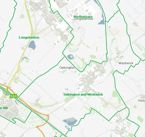
This is the area of O&W parish which we thought might be the area to target in the Plan. Note that it extends some way along the A14 including a mysterious lake, and some way north of Westwick.
Ideas about objectives/goals (varying degrees of realism!):
- Create hedgerow along busway (between Mansell Wood and Gatehouse Road – by cycle path is easier and safer to plant but other side of busway has more room)
- Preserve land like that by Manor Farm Close from developers – maybe by identifying badgers etc living on it, maybe by radical occupation action and claiming local ownership
- If land is developed, ensuring wildlife corridors are included
- Identifying garden wildlife corridors
- No-mow for identified areas around village
- Animal tunnels under the road, or at least signs to warn drivers of wildlife corridors
- Village goat to graze gardens, creating better biodiversity (see “Wilding” by Isabella Tree) – also power-saving and manure-yielding
- Make Mansell Wood a nature reserve
- Make the Northstowe buffer areas into nature reserves
- Add water source/store to the allotments, maybe by using large currently dry ditch there
Bits of land particularly noted or discussed:
- Land by Manor Farm Close
- Grassy areas withiin Arcadia Gardens and near the bus stop there
- Gravelly patch between garage and crossways
- Land to northeast of crossroads – was always nicely overgrown but has been recently part-cleared
- Along airfield road
- Behind Garden Centre (near the brick tower)
- School grounds
- Recreation ground
- Stocks Green (Parish Council) and land around village sign (ditto?)
- Village pond
- Orchards and fruit trees around the village
- Farmland:
Before wandering across farmland, we must always first seek the permission of the landlord or tenant. We aim to approach all land managers in the parish with the aim of working with them.
Some farmers in the parish are keen to encourage wildlife on their farms. These include the farmer at Mansell Farm, who is working with the Environmental Land Management Scheme (ELMS) who will secure grants for his grass margins, pollinator strips, woodland and possibly more.
Other farmers are not farming their land at present, so it is ‘wilding’. These include farms on at west of Cambridge Road. The latter includes land which was under plastic for horticulture) and also a ‘disused’ orchard.
Some other land is contract farmed, i.e. worked by a another farmer usually with big equipment.
Ideas on how to progress:
- Talk to JH in the Environment Action Group
- Need a good blank map – a large hardcopy for the Village Day at least, and electronic maps we can add to.
- Or contact www.cperc.org.uk.
- Map ownership of land
- Include Northstowe buffer areas on our map
- Use the toolkit which suggests questions for surveying different types of habitat: mature trees, woodland, water bodies/ponds, orchards, school bodies and amenity areas, waterways and rivers including ditches, grasslands / road verges with wildflowers, hedgerows, animal boxes, gardens and allotments, churches and their grounds, farmland. We made a start at divvying these between those present at the meeting but really need a map first to record findings, and some are big areas.
- Make contact with local farmers
- Get people to buy into rewilding ideas, don’t put people’s backs up – more people appreciate nature than are attracted by “eco” pressure
- Find some way of making it easy for anyone in the village to record their wildlife sightings centrally for us to include
- Work with neighbouring villages – see if they have Nature Recovery Plans (Girton has) as wildlife doesn’t know about parish boundaries!
- Find out what’s needed for a place to be an official nature reserve
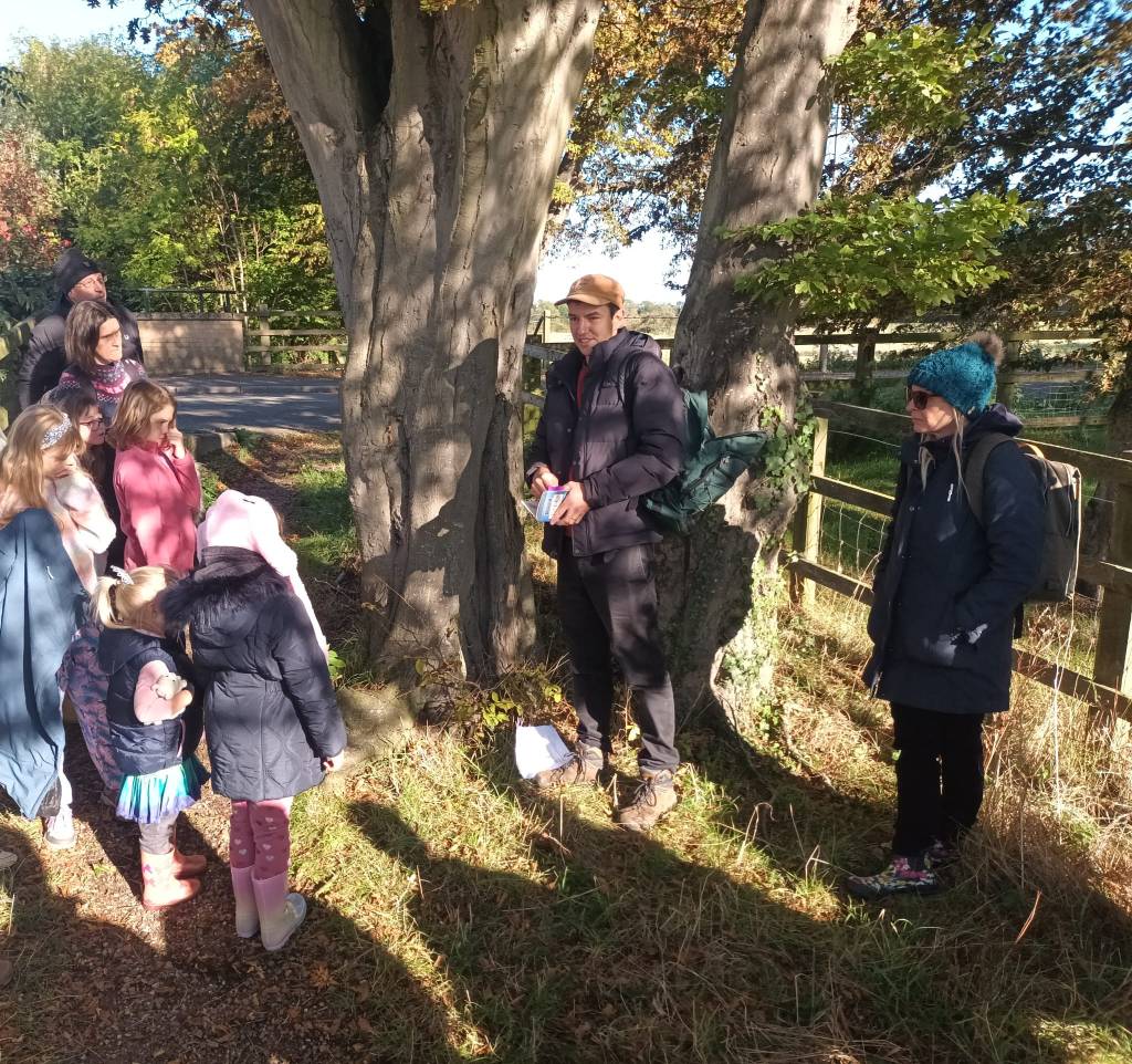
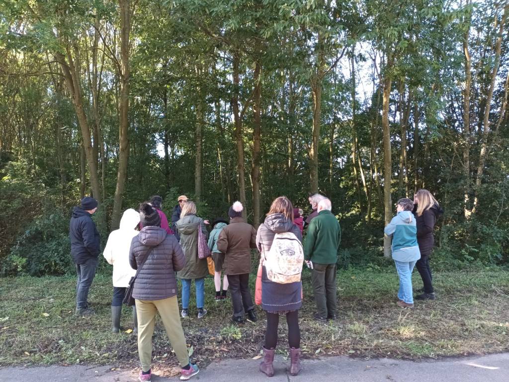
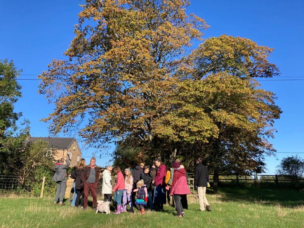
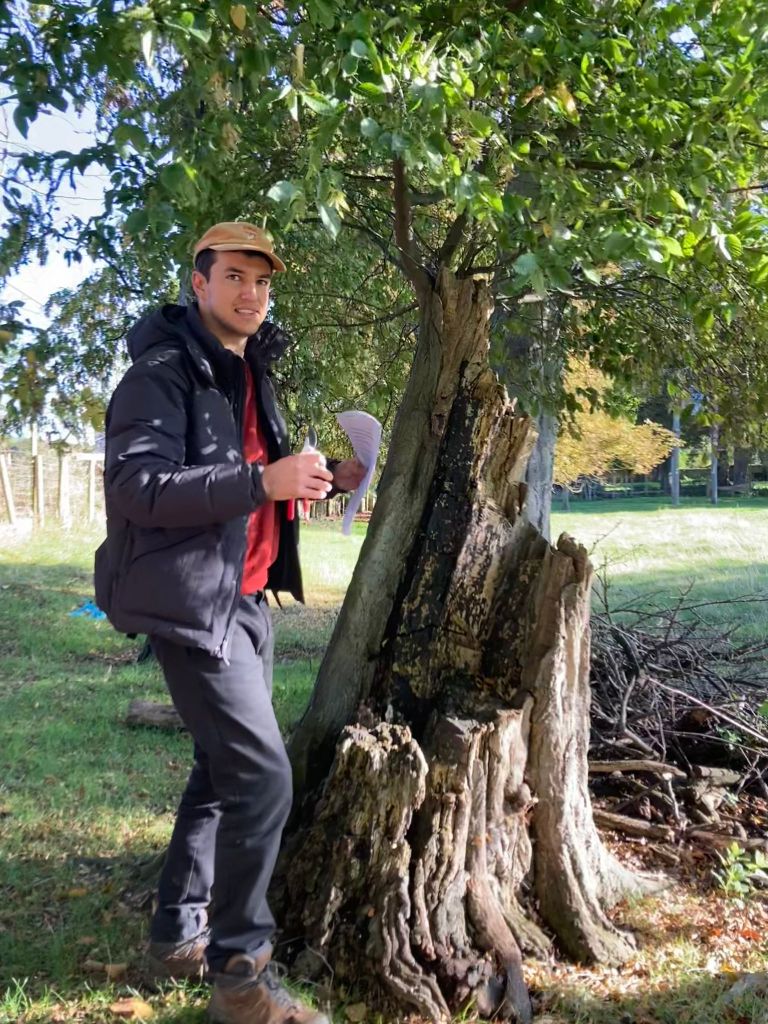
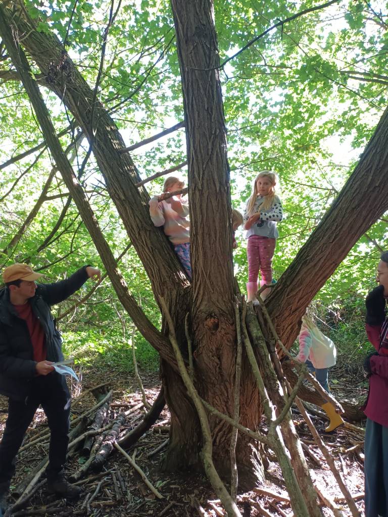
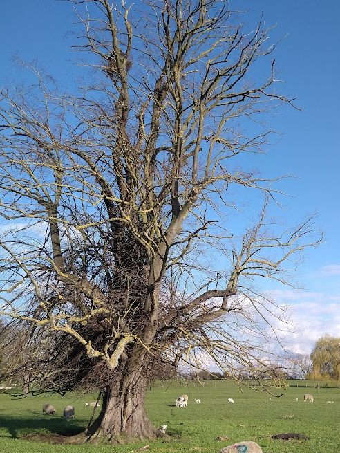
- Do a tree walk to find, talk about and map our most precious trees
- Offer a garden as a rewilding lab
- Encourage people to have ponds. Capitalise on the fact that most people want to have more hedgerows, more birds (but cats are a problem)
- We need to recruit interested people to monitor and record the presence of wildlife (plants and animals) in the parish. They don’t have to be ecologists, just keen and interested in nature.
It is easier to improve an established habitat than create a new one. So, recording the presence of wildlife is vital. We need to set up regular monitoring and recording of habitats and species so comparisons can be made year on year and with other parishes. Wildlife do not recognise parish boundaries, so cooperation with neighbouring parishes is vital for monitoring and recording.
Local records help to indicate success or failure in terms of nature recovery and are also welcomed by the Cambridgeshire and Peterborough Biological Records Centre (Cambourne) to build a county (and national) picture.
Evidence really helps to give records credibility. Night wild life camera evidence and day time photos are valuable as are records in words and numbers with dates/times.
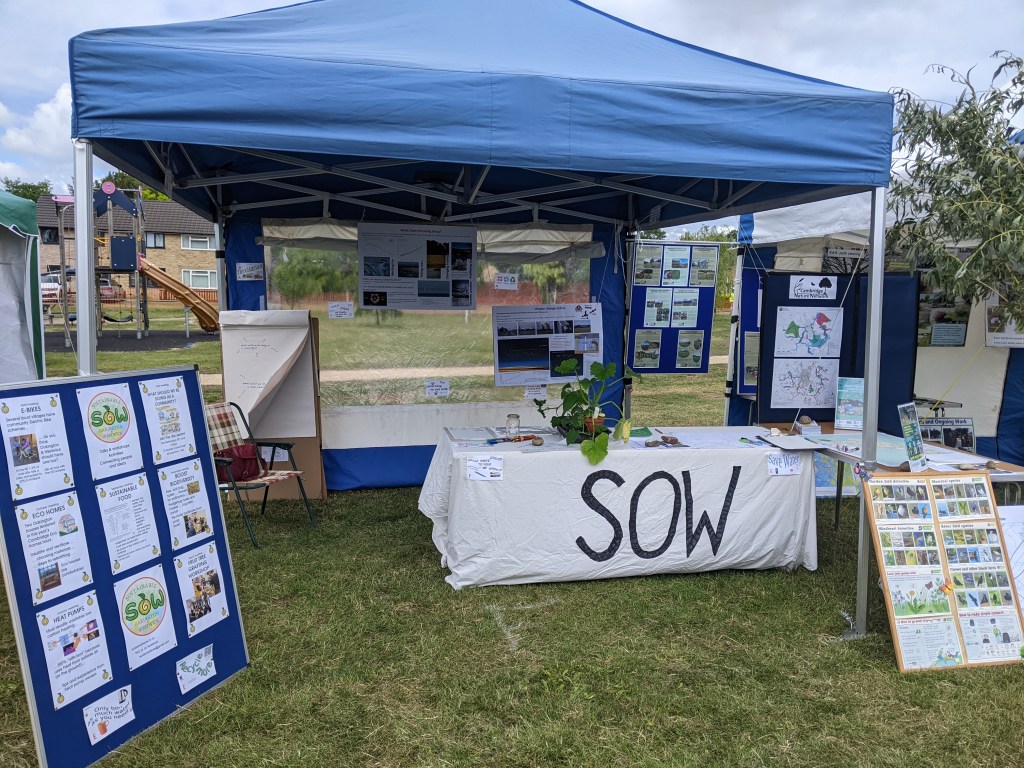
Village Day stall
Joint with EAG (although we will probably each also have information about our group’s other activities)
A big map with pins/stickers/etc so that people coming to the stall can show where they have seen wildlife in the last two years, eg hedgehogs in their gardens
Plus Cambridge Nature Network display material.
In other news…
Two members had visited Knepp of Rewilding fame.
Histon Ecofest is on Sat 10th June.
Report by Jenny Prince and John Terry